")
'For twenty years, we have been working on all kinds of courses and research in collaboration with African partners, funded by the European Space Agency (ESA),' says Van Lieshout. 'Currently, African institutes have the facilities and the knowledge themselves to set up educational programmes, which means that our role is changing in that of sparring partner.'
Satellite imagery
The latest development is called 'African Lead Curriculum Development'. Van Lieshout: 'All kinds of course materials are available online in order to put the curriculum together. The virtual shopping basket is filled with workshops, MOOCs, webinars, and training courses. All content can be accessed freely, not only for the African universities that are involved, but for all African academics using satellite images to research water and food production.
High-quality teaching material
With the support of European partners within the partnership, African institutes are provided with advanced building blocks that can be used to improve their current curriculum. 'A good development,' says Van Lieshout. 'These universities will have access to high-quality educational materials. In addition, they know best which courses they want to offer and what is needed.'
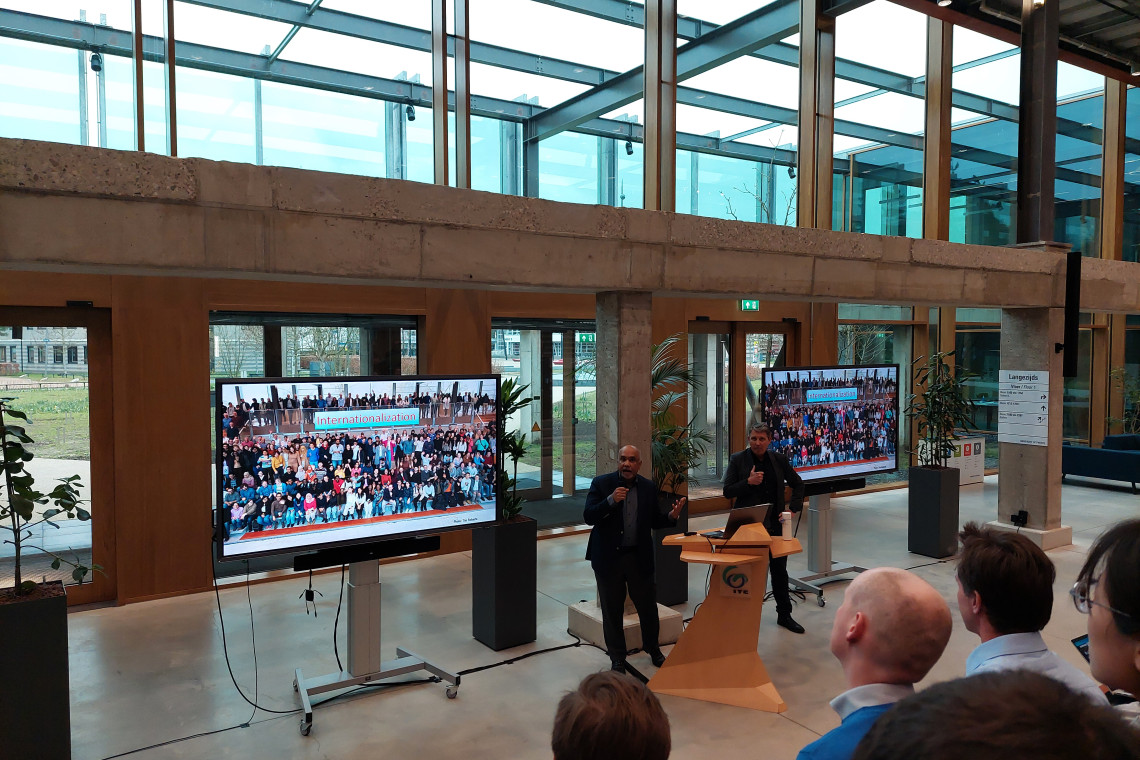
Recently, five universities from Africa visited ITC to be informed about the educational building blocks that are available online, as well as the learning management system Moodle, says Van Lieshout. 'We have shown them how ITC sets up education in a structural way, how the learning management system works, and what content the programme features.
Research proposals
The project also offers institutes the opportunity to submit research proposals. 'The single condition is that an African university mut submit a research proposal together with a European university, they must divide the available budget together and organise, exchange programmes between Europe and Africa. Joint data collection, campaigns, and of course publications can also be part of the research.'
According to van Lieshout, several organisations are working on similar initiatives in Africa. 'The US has one through NASA, China through their digital Silk Road initiative, and Japan is also working on a similar programme. Of course Europe does not want to be left behind. In this project, we focus on satellite images that tell us something about water and food security. These are images with more colours than we can see with the naked eye. Those colours provide information about food production, water quality, and the risk of flooding or drought.'
Harvest yields ans rainfall patterns
An extensive archive of satellite images is now available and, according to Van Lieshout, developments are being monitored. 'Researchers, but also organisations such as the World Food Programme and Ministries of Agriculture, can follow what has happened in the past ten years relatively easily and observe changes in terms of harvest yields, water availability, or rainfall patterns. This information is useful for adjusting agriculture and possibly irrigation, for example, so that the quantity of the harvest yields remains in order.'
EO AFRICA RDF
The aim of the African Framework for Research, Innovation, Communities and Applications Research and Development Facility is to promote a sustainable application of Earth Observations and related space technology in Africa.
With financial support from the European Space Agency (ESA) and in collaboration with several other European partners, ITC provides online training courses, webinars and face-to-face training courses to train professionals in Africa in the use of remote sensing data, or the interpretation of satellite data for the benefit of water and food security. The aim is to strengthen knowledge and expertise about the application of Earth Observations (EO) in Africa
The long-term goal is to promote African-European co-operation and to create an active research and education community that jointly works on increasing capacity and Earth observation research in Africa.