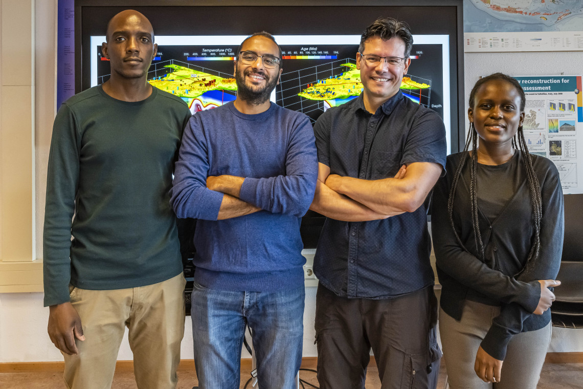
Afonso’s novel method is a revolutionary approach to unravel and analyze the Earth’s composition and internal temperatures. ‘The Earth is one of the most complex systems we know,’ Afonso explains. ‘It involves biology, physics, chemistry, and all aspects of the Earth sciences. For a proper understanding, you need to have an integrated approach, combining different scientific fields.’
Traditionally, Earth scientists only used one particular viewpoint or dataset to investigate the Earth, for example by monitoring earthquakes, or by studying the Earth’s surface temperature, or its gravity field. The basis is that what you see at the surface is related to what is underneath. ‘Each of these disciplines uses one single property of the Earth to predict and understand the temperature deep inside, the Earth’s composition or the location of natural hazards or valuable deposits,’ Afonso explains. ‘Combining the scientific data of different disciplines, and aided by powerful computer simulations and machine learning, we should be able to predict the Earth’s build-up way more accurately. This comprehensive way of seeing inside the planet is exactly what we have developed in our new method.’
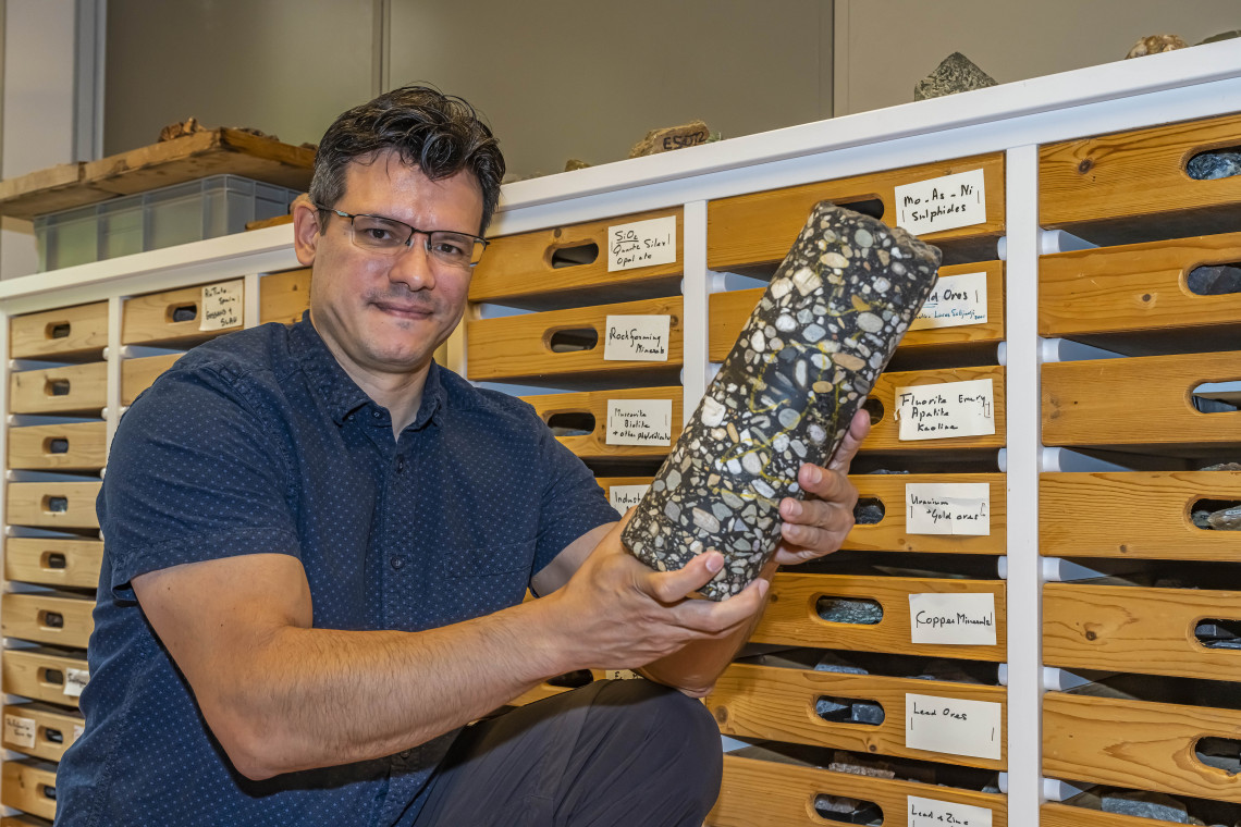
Afonso’s passion for Earth sciences started already in his youth, when he was inspired by the geological natural beauty of his home country, Argentina. Theoretical research in the early days of his scientific career laid the foundation for his innovative method that has dramatically improved the way to explore the Earth. ‘I am really interested in understanding how the Earth works, what it is made of, how to use that knowledge to help accelerate the transition to green geothermal energy and clean hydrogen-based technologies, both of which underpin the creation of future sustainable economies,’ he says. ‘As a theoretical geophysicist, I never expected that my research would find such a direct application.’
Tremendous challenge
On their journey towards an improved methodology, Afonso and his team combined massive datasets collected at the Earth’s surface, like seismic records, temperature profiles, and rock samples, with satellite data, such as the gravitational and electromagnetic fields of the Earth. Together, these datasets give information about the density and thermal structure of the subsurface, its composition and possible mineral deposits inside the Earth. Satellites can also measure the color and reflectivity of surface rocks, revealing their mineral composition.
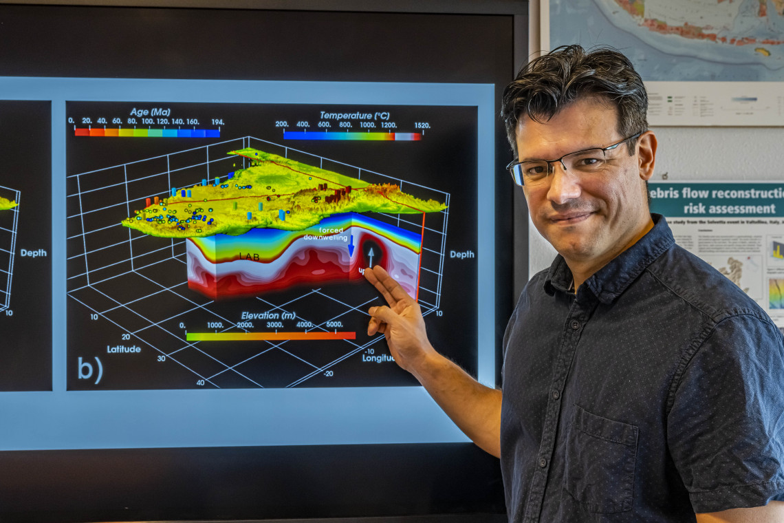
‘It is as if you are looking at the Earth using an MRI or a CT scan’
However, to successfully combine these huge data sets was a tremendous computational and theoretical challenge. After a lot of work, trial and error, codes and equations, the team finally came up with a working model that was a completely new way of seeing the Earth. Afonso: ‘It is as if you are looking at the Earth using an MRI or a CT scan. The technique, commonly dubbed as the ‘LitMode approach’, is already being used to predict the physical state of the Earth in many regions of the world, including the location of valuable resources, like rare earth metals and potential areas for geothermal energy extraction.
More reliable information
The first proof that the method worked, came from an analysis of the Colorado Plateau area, in the USA. Based on one type of seismic data, the consensus among many scientists was that the tectonic plate beneath the Rocky Mountains was very thick, and functioned as an insulator for the heat from below. However, using their LitMod approach, Afonso and his team predicted that the plate would be very thin. ‘Our findings were confirmed by independent research by a group from Cambridge University a few years later,’ Afonso says. ‘Based on geochemical data from lavas erupted in the area, scientists confirmed our conclusions: the tectonic plate beneath the Rockies proved to be really thin.’
A second validation of the method was done on the African continent. ‘Currently, the only way of getting information about materials from the deep Earth is by analyzing small pieces of rock, ‘xenoliths’, carried from depth to the surface by volcanoes,’ Afonso explains. ‘Unfortunately, volcanoes can only be found in a very limited number of places. But when we ran our models in areas with xenoliths in Southern and Central Africa, our predictions regarding the Earth’s composition deep down matched one to one with the results from the xenoliths!’ Since most areas of the Earth don’t have volcanoes, and as such, no xenolith data, the LitMod method opens up the possibility of mapping the composition of the Earth in regions without volcanoes.
Thermal energy
Despite the method’s successful application in different geographical areas, some uncertainties remain, especially in the complicated models used. Improving these models is challenging for some areas, due to a lack of drilling data to validate their outcome. ‘Currently, we simply can’t drill very deep into the Earth’s crust,’ Afonso says. ‘In the future, I expect that we may be able to drill routinely down to 10-15 kilometers, and that will help to improve our models.’
But despite these limitations, a wide-ranging characterization of the thermal structure of the whole Earth is within reach. Such an ‘MRI of the Earth’ can be really helpful finding areas that are really hot at depths of 8-15 kilometers. Deep superheated rocks have tremendous potential as geothermal energy sources, since they contain lots of energy. In Iceland, about 25 percent of all energy needed is generated by geothermal sources. This shows that geothermal energy is a highly feasible and reliable option to generate energy and has large advantages over other new energy sources, like wind and sun. We just need to go deeper in areas with no active volcanism. ‘A geothermal field has a small footprint compared to, for example, a windfarm’, Afonso says. ‘The area needed for a such a field, generating a similar amount of energy as a windfarm, doesn’t exceed the space taken by just two wind turbines.’
‘A geothermal field has a small footprint compared to, for example, a windfarm'
Another advantage is that the energy extraction occurs below ground, and doesn’t have an impact on the landscape, bird and insect populations. And although geothermal energy is not 100% problem-free - for example, the deep drilling might perturb the Earth -, the development of new ‘closed systems’ with heat exchangers limits the impact to a minimum. Afonso: ‘We do need quick funding to develop such thermal fields. This energy source is reliable and almost inexhaustible, and has much less impact on the landscape than wind or solar.’