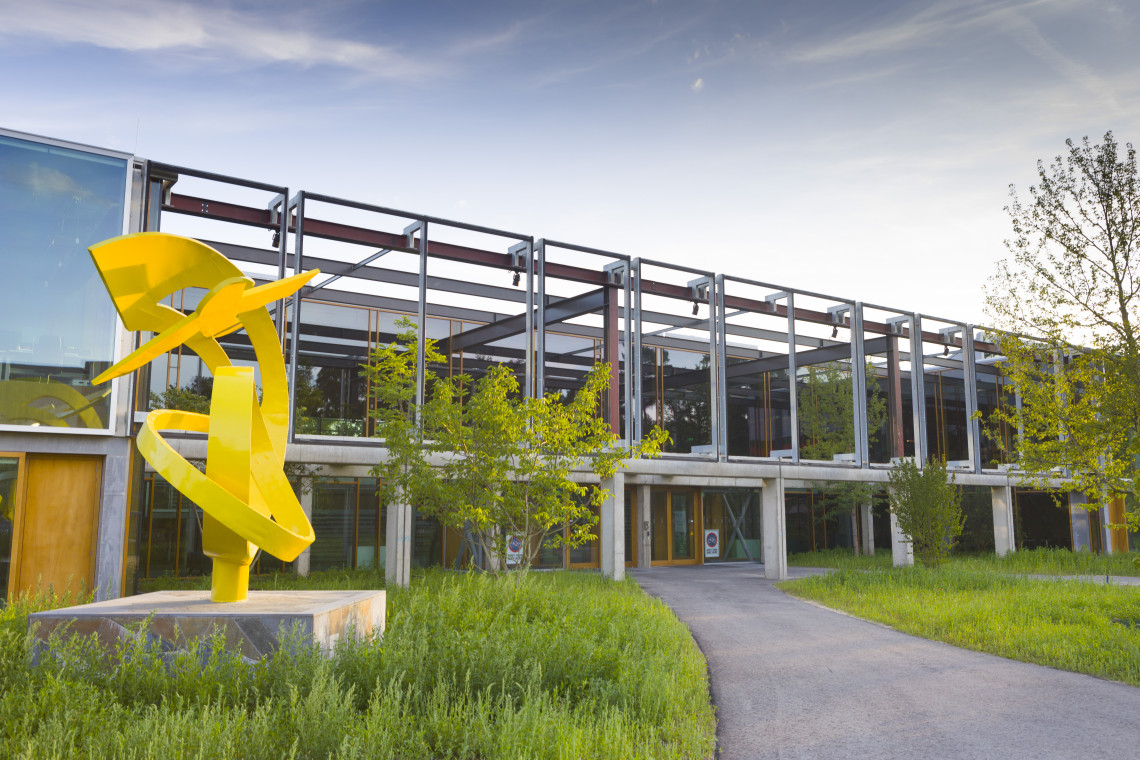
ITC has recently joined GEO. How will this influence the faculty?
‘GEO is an international body that sets the agenda for earth observations on a global level. The ultimate goal of this group is to combine all different earth observations – satellites, airborne systems, ground based systems etc. The main reason for ITC to become a participating organization, on behalf of the UT, is its experience with capacity building which refers to strengthening companies, organizations, and whole countries in the field of earth observation. There is a lot of capacity building activity going on in GEO and our aim in GEO is to be more influential in setting the international agenda for these activities in earth observations.
Will ITC get more opportunities for new research and hiring more researchers?
‘Definitely, we will get more opportunities for projects funded through the Horizon 2020. It is also important for us to show the Ministry in The Hague that we are internationally committed to capacity building, because anything we now do in the context of GEO can be considered as a Dutch contribution to this global earth observation framework.’
So do you think ITC will benefit from participating in GEO?
‘I think ITC as a faculty will benefit, but there will also be benefits for other faculties that are directly or indirectly involved in earth observation.’
And on the other hand – do you think ITC will benefit the whole GEO? Can ITC help the entire Group?
‘Yes, I think we can, because we have over 60 years of experience in capacity building. There is a lot of talk about capacity building in the GEO, but most of the activities consist of training, short courses or small projects. So GEO is flooded with a lot of information, but it doesn´t really help to build an expertise in how you can use all the data that is available. That requires a more integrated approach. We have been involved in the GEONETcast programme of GEO, which relates to very cheap receiver stations, to which you can just downlink earth observations and data from satellites or elsewhere. We have been developing a lot of tools to automatically process that data into products - vegetation products, meteorological products and so on. So we have been already involved in many projects and programmes, and now we want to do all this at a higher political level.And in this way we can also share our knowledge and experience in capacity development.’
The main goal of GEO is to develop the GEOSS - Global Earth Observation System of Systems. Will ITC also be involved in developing the GEOSS?
‘Yes. The idea of GEOSS is to try to stitch all the different observations together, to combine data from all the satellites etc. As a faculty, we are not involved in the hardware side. We don´t build satellites, we don´t launch satellites, but we do develop products for monitoring purposes – for monitoring water issues, flooding, droughts etc. So we are involved in the application domain of the system.’