The relatively new research chair links health and disease in space and time, studying where and when diseases occur, and helping us understand why they may be prevalent, who may be affected and how to address the problem. ‘It applies to human diseases, but also to plant and animal diseases,’ clarifies professor Blanford. ‘It allows us to look at the given issue across different temporal and spatial scales, and to figure out what the drivers are and how to minimize the risks.’
‘Geo-health is very important, because having things ‘on the map’ makes it much easier to keep track of what is happening,’ continues Blanford. ‘Just think of the COVID-19 pandemic. Thanks to geo-spatial technologies, there were already tools in place that allowed us to capture how the disease was spreading.’ Ultimately, scientists can produce knowledge that decision makers can also apply for prevention. ‘It’s not only about mapping diseases,’ says the professor. ‘We have also done studies on access to healthcare and water. Having access to facilities makes it much easier for people to participate in prevention. For example, we looked at accessibility to COVID-19 vaccine centres in the Netherlands by bicycle, and how this might change once the centres started shutting down.’
'Having things ‘on the map’ makes it much easier to keep track of what is happening'
Another coronavirus related study looked at how we could use wastewater surveillance to predict outbreaks at a municipal level. ‘We conducted a study using data on COVID-19 infections and viral load of coronavirus in wastewater, analysing their associations in space and time,’ says Carmen Anthonj, Assistant Professor of Water, Health and Decisions at ITC. ‘We concluded that wastewater surveillance can indeed serve as a very suitable tool to predict future outbreaks, indicating in advance where there might be high numbers of patients. This is a nice example of how we can use geo-health data and analysis to inform public health-related decision making and targeted interventions.’
Water and health
Anthonj’s Tenure Track chair focuses on the links between water and health issues, and the use of related data to inform decisions. ‘I mainly look at topics that are connected with the United Nations Sustainable Development Goal (SDG) #6: access to water and sanitation for all, and SDG 3: good health and well-being for all at all ages. I look at how water, sanitation and hygiene (WASH) infrastructure and behaviors can promote human health and how they can impair human health,’ explains the scientist. ‘I look at how WASH can prevent water-related infectious diseases. I study how the situation differs in different regions and among different populations in low-, middle- and high-income countries. Likewise, I look at water and health from a broader perspective, in order to understand implications of flooding on WASH and health infrastructure.’
‘This theme always sounds easier than it is,’ stresses Anthonj. ‘Access to water – sounds so simple; but WASH marries so many different topics: access to water, quality of the water, type and state of sanitation facilities, waste management infrastructure, personal hygiene and, related to all of these, people’s risk perceptions and resulting healthy or unhealthy behavior. WASH combines information about physical infrastructure, but also social sciences. Even if the infrastructure is great, people need to know how to use it.’
'Even if the infrastructure is great, people need to know how to use it'
‘It is quite complex,’ says Carmen Anthonj repeatedly. The need for research and solutions to the challenges is, however, very straightforward. ‘It all comes down to this,’ states the scientist. ‘In 2019, according to the Joint Monitoring Programme of UNICEF and WHO, there were 2,2 billion people on this planet lacking access to safe drinking water. Half of global population lacked access to safe sanitation. There were 3 billion people lacking access to hand washing facilities with soap. And more that 670 million people who practiced open defecation, meaning they had no access to restrooms. This is all connected to disease exposure, and ill-health. Every day, more than 700 children under the age of 5 die due to diseases resulting from the lack of WASH services. WASH to us might sound like nothing to worry about; but it is a major cause of death worldwide.’
And access to WASH differs across space – and time, adds the assistant professor. ‘If decision-makers have the right information, they can improve access to WASH to prevent diseases, and promote health when and where needed. Our job as researchers is to make sure that there is data, that the data is understandable, and that it reaches those who have the means to improve the situation.’
WASH in schools
‘Access to WASH is a human right,’ says Kasandra Mingoti Poague, PhD candidate working with Carmen Anthonj. ‘I work with WASH from the social perspective focusing on minorities living in vulnerable situations.’ Her PhD research focuses on WASH and its connection to COVID-19 in schools in Brazil. She aims to see if schools have suitable WASH infrastructure to deal with the COVID-19 pandemic and other future pandemics – and therefore what we could do to make schools more resilient for the future. ‘When we think of access to water and sanitation, we often only consider the household environment. However, children spend a large portion of their day at schools and they need access to the same services there. With COVID-19 we could clearly see that diseases impact population groups differently. When it comes to students and pupils, it also impacts their cognitive development, which is why we need to consider the situation in schools.’
‘I have a background as an environmental engineer, and I see a huge value in geo-health,’ adds the doctoral candidate. ‘Engineering is often separated from medical expertise and public health knowledge, but we need to combine everything in order to properly assess how WASH links to diseases.’
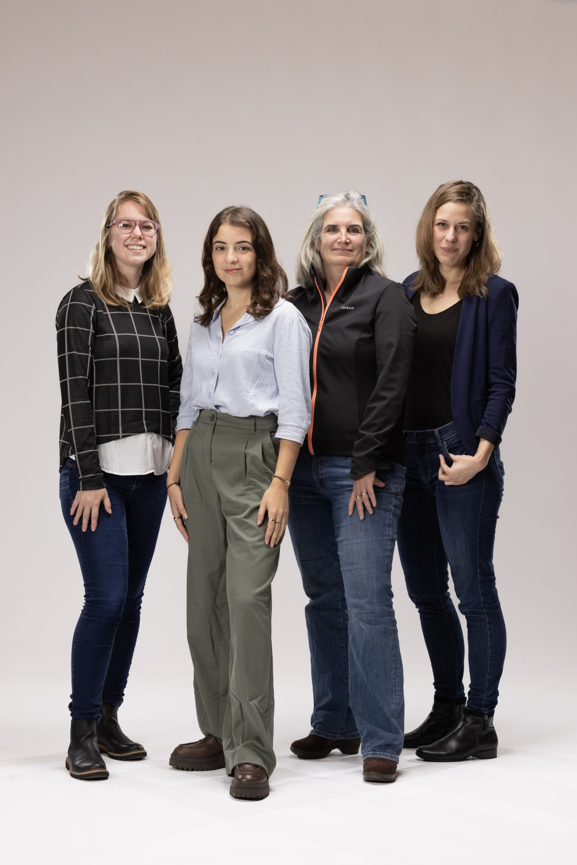
From left to right: Kasandra Mingoti Poague, Carolina Pereira Marghidan, Justine Blanford and Carmen Anthonj
Heatwaves
‘Geo-health has a huge potential. Looking at a problem in a spatial way is very important for understanding and visualizing the patterns,’ agrees Carolina Pereira Marghidan, UT Master’s student who has been researching heatwaves and its impact on human health. ‘We know that heatwaves are increasing on a global scale; and we know that heat has impact on health. The well-known example shows that the 2003 heatwave in Europe caused over 70.000 deaths. We know this, but there is a lack of research and data on the connection of heatwaves and health in low- and middle-income countries, and especially African countries.’
'Looking at a problem in a spatial way is very important for understanding and visualizing the patterns'
Marghidan’s research has focused on Mozambique, one of the poorest countries in the world – and one of the countries prone to many climate risks such as cyclones, floods, and droughts. ‘The risk of heatwaves is not on the radar in Mozambique,’ says the student. ‘My goal was to increase our understanding around heatwaves and their impact on health. I started by looking into when, where and how heatwaves occurred in Mozambique in the past thirty years, using a newly developed high-resolution temperature dataset. I wanted to see if they were forming a pattern, it they were getting longer or stronger, and more common.’
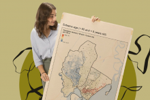
‘In geo-health, it’s important to not only to do research country-wide, but also to zoom in on smaller areas, to see where the problems are the strongest,’ adds Marghidan. Her research concentrated on Maputo, the capital city of Mozambique, for which she created a vulnerability map. ‘I took different vulnerability factors, such as very high and low age, lack of green spaces in the area and so on. Based on these indicators, I could show which areas of the city might be most vulnerable to heatwaves. This could help local decision makers to come up with targeted strategies. For example, if you want to raise awareness among older adults, you can target specific neighborhoods with high concentration of elderly inhabitants, you know where you could provide more water stations and so on. Such an index can help target a whole range of interventions.’
'Heatwaves are a silent disaster'
Carolina Pereira Marghidan was able to establish that there is a significant increase of heatwaves in Mozambique. ‘Unfortunately, we don’t yet know their exact impact, because there are many challenges with regards to the availability and quality of health data,’ she says. Running into data challenges is not an uncommon hurdle within geo-health research. ‘Which worries me a lot. Only the full picture can serve the most vulnerable people. Heatwaves are a silent disaster. You can’t see the damage directly with your own eyes, and so it is harder for people to understand the risk. That is why the impact of heatwaves are always underestimated, especially in low-income countries. Recognizing the link between climate and health is still very recent and the knowledge that heat causes health problems is very low in Mozambique. It’s a hot country, and so the local people don’t necessarily recognize the climate is changing, that the temperatures are rising, and that they are becoming more vulnerable. Local doctors might not even recognize that certain health problems are caused by heat. We need to urgently know the full gravity of the situation so that we can take appropriate action.’
Labour shortage
Indeed, there seems to be no limit on topics that could be explored within geo-health – as evidenced by the variety of research at the UT alone. The scientific field has a lot to offer, but oftentimes its potential isn’t realized. ‘Unfortunately, geo-spatial sciences is still missing from a lot of epidemiology and public health curricula, and so it is not being used to its full potential in different fields,’ says Justine Blanford. ‘We are trying to change that at the UT. Last year, we launched a geo-health course to bridge the gap. It allows public health professionals and epidemiologists to learn about geo-spatial tools and how they can be used for different aspects of health. Geo-health can bring a lot to the table. To address different health risks you need spatial and temporal data so that we can start to understand the full picture.’